There is a risk for severe storms tomorrow. There is uncertainty in the timing and the strength of thunderstorms tomorrow. I’ll provide updates as the timing and threat changes, but this is the plan for now.
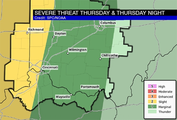
The entire Tri-State is in a marginal to slight risk for severe storms Thursday and Thursday night. The slight risk is basically for communities along and west of I-75; this is where the threat is highest:
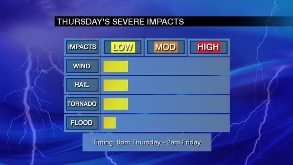
As usual, the threat for damaging straight-line wind and large hail will be highest. Tornado threat is in play, but it is a secondary threat. Here’s are my thoughts how high each threat is:
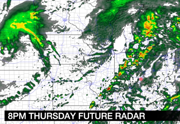
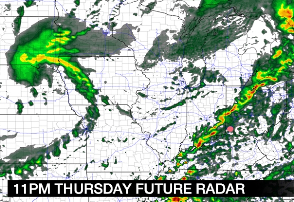
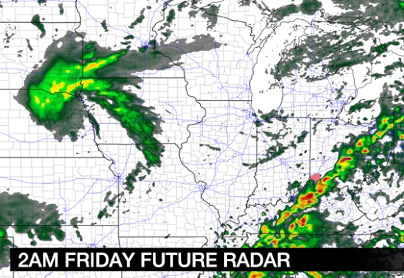
Note that the most likely time for strong to severe storms late in the week is 8pm Thursday to 2am Friday.
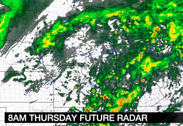
Computer guidance is of little help with the timing and strength of tomorrow’s storms. For the time being, the NAM model appears to be more accurate. It shows rain and isolated storms developing overnight and early Thursday (Cincinnati is the pink dot):
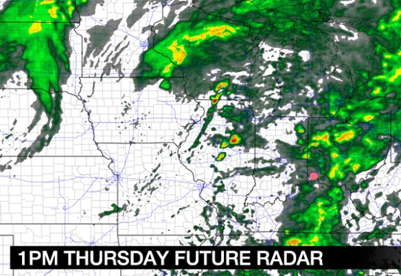
Rain and isolated storms move east of Cincinnati tomorrow morning and early tomorrow afternoon, and partial clearing is forecast during the second half of the day:
The second round of showers and storms will develop to our west during the afternoon and move east, towards the Tri-State, nearing sunset:
A line of rain and storms will sweep through the Tri-State during the second half of the evening and very early Saturday morning:
Rain and storms will diminish and end well before sunrise on Friday:
The screaming message here is that rain and isolated storms are forecast overnight and early Thursday and a second round of storms is forecast tomorrow night. Be alert for warnings!

