While the threat is small, you should be alert for strong and severe storms Thursday and Friday, especially during the afternoon. Even if storms aren’t strong, some cells may produce heavy rain and lightning.
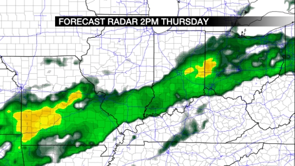
Models are quite sloppy with the coverage and timing of showers and storms Thursday and Friday. Wednesday morning’s NAM model has precipitation developing in the Ohio Valley around 2pm Thursday afternoon:
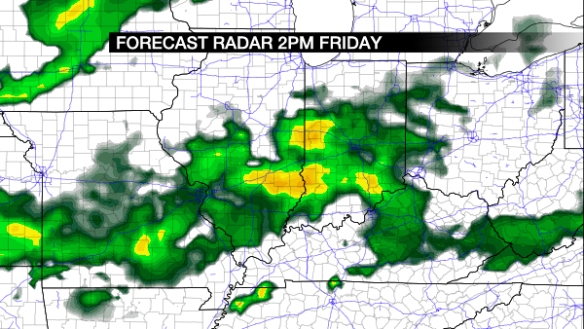
The same model also has showers and storms developing in the Tri-State Friday afternoon:
Other models and guidance is not as aggressive with the coverage storms both Thursday and Friday. My forecast for Thursday calls for scattered showers and storms developing, especially during the afternoon and ending in the evening.
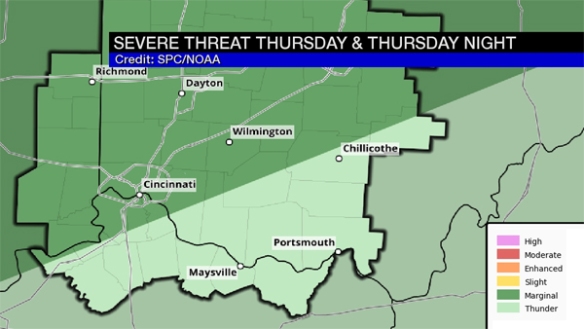
The Storm Prediction Center has placed areas west and north of Cincinnati in a marginal risk for severe storms Thursday:
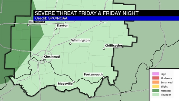
The marginal risk is farther west in SPC’s severe weather outlook for Friday:
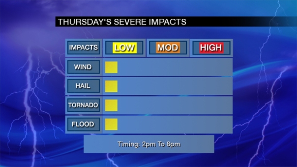
At this point, all severe weather threats for Thursday and Friday are low and mainly during the afternoon and early evening. Here’s are forecast severe impacts for Thursday:
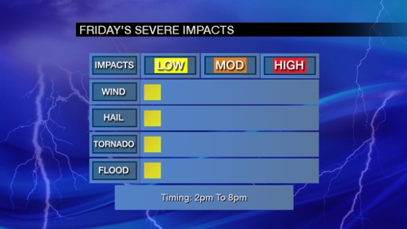
And here is the breakdown of threat for Friday:
Be alert! This threat may change in the next 24 to 48 hours.

