Two different areas of low pressure and a large upper-level disturbance approaching the Ohio and Tennessee Valley tonight will produce snow in the Tri-State tomorrow. This is not going to be a big winter storm, but accumulation will be widespread.
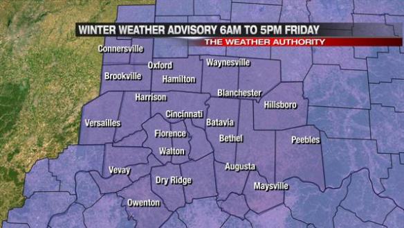
The National Weather Service has posted a Winter Weather Advisory for the Tri-State. This advisory will be in effect from 6am to 5pm Friday:
The heaviest snow will likely fall between 9am and 3pm.
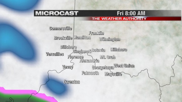
This morning’s Microcast model run has a good handle on the timing of snow Friday. At 8am Friday, light snow will be moving in from the west:
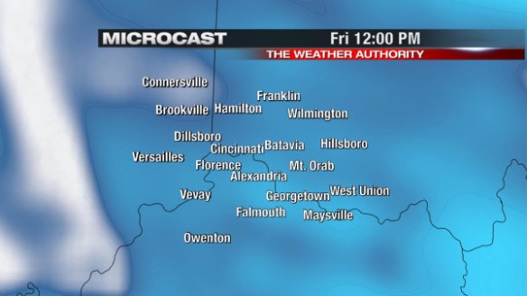
By noon Friday, Microcast suggests snow will be widespread:
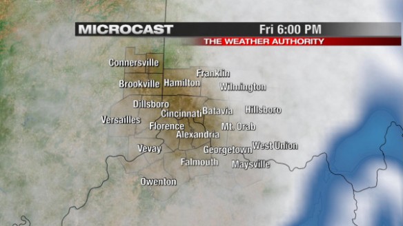
By late Friday afternoon, Microcast shows snow exiting the Tri-State:
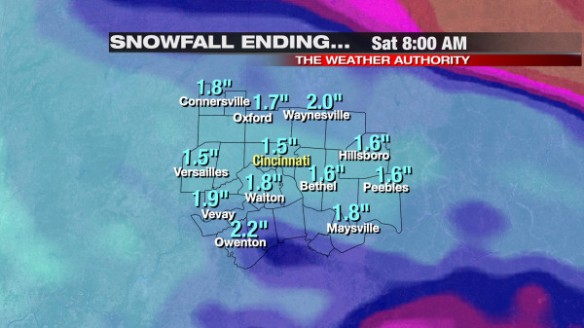
By early Friday evening, most in the Tri-State will get 1-2″ of snow accumulation; some will see 2-2.5″ of accumulation. Overall, Microcast has a good handle on amounts, but amounts for specific towns on this map are approximate:
As new model data comes in, we will adjust totals through the night and early tomorrow. Please be careful traveling tomorrow!

The White Death!!!! Aiyeeeeee!