
Are you aware that strong and severe storms are a possibility later today? You should! If not, let’s break down the threats and timing.
The Storm Prediction Center has placed the Tri-State in a slight to enhanced risk for strong to severe storms through sunrise on Saturday:

The risk is driven by the large hail threat, but the threat for damaging straight-line wind and flash flooding are still significant. The tornado threat is in play, but it is a secondary threat at this time. Here’s a breakdown of how I see severe threats for later today:

Notice that the threat for severe storms is focused after 5pm today and throughout the evening. Additional rounds of thunderstorms are likely after midnight, but the atmosphere will likely be worked over pretty hard by then. Even with this considered, you should be weather aware through the tonight, including through the overnight.
There is also a Flash Flood Watch in place for most of the Tri-State from 7pm Friday through 11am Saturday:

Temperatures are the in process of rising through the 50s and 60s as of 11am:

…and dewpoints are also rising:

These numbers are not supportive of severe storms, but dewpoints will be rising through the 50s and 60s this afternoon and evening. This will support an increasing threat for thunderstorms – including severe storms – as the day and evening progresses.
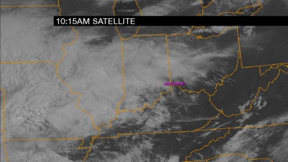
A visibile satellite snapshot shows why the threat for severe storms is highest over central Kentucky and southwest of the Tri-State…more sunshine:
The first wave of showers will float through the Tri-State this afternoon (especially between now and 3pm) and is already appearing on radar:
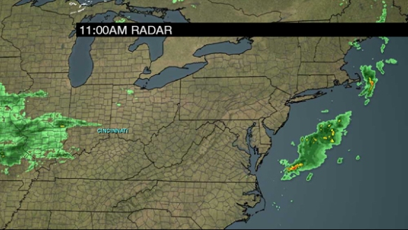
These showers and storms are moving northeast at 45mph.
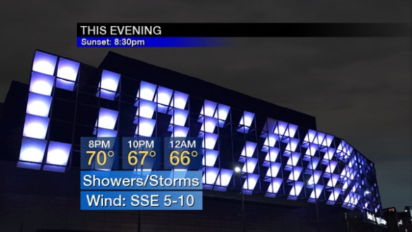
Showers will develop this afternoon, but the threat for thunderstorms will wait until late this afternoon and evening. Notice temperatures will rise through the 60s and 70s this afternoon:

Showers and thunderstorms are likely from late afternoon through this evening in waves:
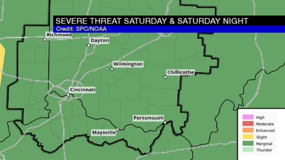
Some storms may be strong or severe through tonight. Also, note that the Tri-State is in a marginal risk for severe storms Saturday:
This is an evolving threat, so stay weather alert through the day, evening, and throughout the weekend!