
The Storm Prediction Center has placed the entire Tri-State in an ENHANCED risk for severe storms Wednesday and Wednesday night:
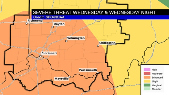
This is a significant threat for strong and severe storms, but – as I will highlight below – it is conditional on how warm and unstable the low-levels of the atmosphere get.
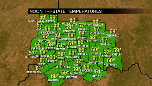
First, let’s address how we get there. We’re around 60° as of noon:
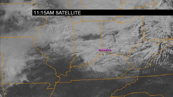
Clouds will win out over sun today, but at least some cracks in the clouds will allow the temperature to rise. Here’s a cloud snapshot as of 11:15am:
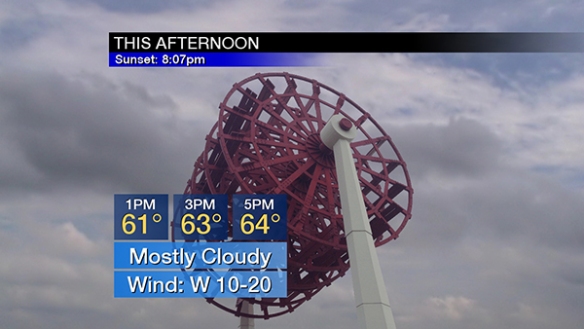
Temperatures will rise into the low and mid 60s this afternoon under a mostly cloudy sky:
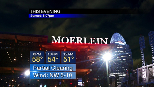
Partial clearing is forecast this evening with temperatures falling through the 60s and 50s:
Clouds will increase and thicken Wednesday. From mid-morning through mid-afternoon, scattered showers and stray, non-severe storms will develop. The coverage and intensity of storms will increase between mid afternoon and early evening. The environment these storms will be in is important. For this, we’ll use the NAM model from Tuesday morning, which has a higher resolution than most models and has a decent handle on the overall setup. It shows an intensifying upper-level disturbance around 18,000 above the ground at 4pm Wednesday:
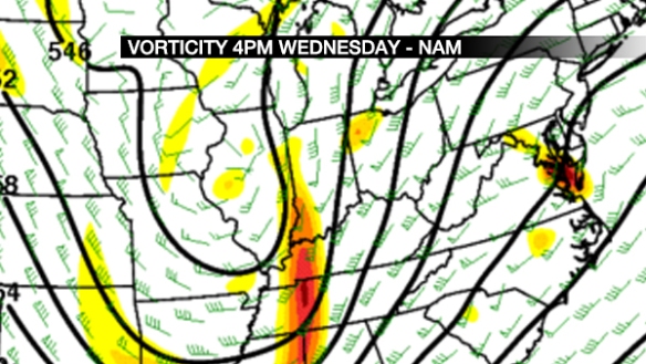
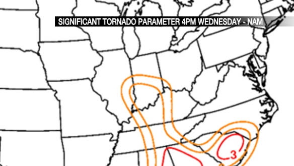
This will provide lift in the atmosphere and help to generate storms. The Significant Tornado Parameter (the higher the number, the more likely tornadoes are if other conditions are supportive) shows the tornado threat focused over Indiana at 4pm Wednesday, but that threat will diminish (but still be more than high enough to watch) and move east from 4pm Wednesday through late evening:
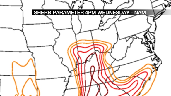
The SHERB parameter (an index of severe thunderstorm in low-instability/high-shear environments; see more in this blog post) shows a significant threat for strong to severe storms in the Ohio Valley late Wednesday afternoon and Wednesday evening. Values in the red usually gather my attention:
If thunderstorms form Wednesday, how likely are they to rotate? A good indicator of this is storm relative helicity. In simple terms, a tightly-thrown spiral on a football tossed straight up into the sky has good helicity. Here is what the NAM model thinks for helicity at 4pm Wednesday:

That bubble of 200 (m2/s2) is enough to get my attention and support a tornado threat.
There is, however and as discussed above, uncertainty on how much instability we get. Dewpoints are forecast to rise into the upper 50s Wednesday afternoon, but the instability forecast is messy. Weak instability means a lower severe threat.
Here’s my overall thinking on Wednesday’s severe weather threat as of Tuesday afternoon:
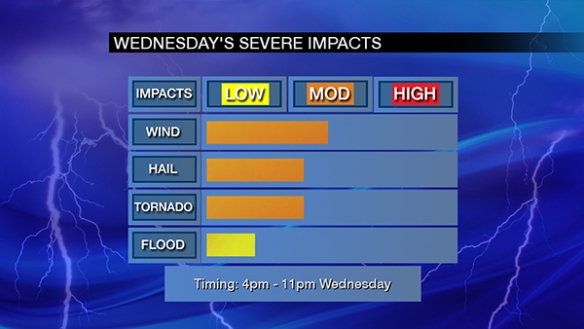
The window for severe storms is 4pm to 11pm Wednesday, but the highest threat centers between 5pm and 8pm Wednesday.
Remember, this is not a final forecast. Conditions and guidance may change in the next 36 hours.